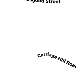
9 CARRIAGE HILL RD
Owner Information
YIN LUZHONG
9 CARRIAGE HILL RD
ANDOVER, MA 01810


Property Details
9 CARRIAGE HILL RD is classified as a Single Family Residential (Split entry).
The primary structure on this property was built in 1965. There are 2,657ft2 of built area within this property. There is 2,657ft2 of residential/living space within this property. This property is listed as having 6 rooms.
9 CARRIAGE HILL RD is valued at $544,700. The land is valued at $312,100 and the structures are valued at $232,600.
This property is in Zone SRC. Confirm with local Zoning Board authorities to ensure there are no overlays or other easements on this property.
The most recent deed for 9 CARRIAGE HILL RD is recorded at the local registrar in Book 12286, Page 42. 9 CARRIAGE HILL RD was last sold on Wednesday, November 17, 2010 for $435,000.
Assessment data from fiscal year 2021.
Flood Data
According to the FEMA National Flood Hazard Layer, this property does not appear to be in a flood zone. It may also be in an area not yet reviewed. Nonetheless, confirm this information prior to taking any action.
To view the flood hazards around this property, create a FEMA "Firmette" Map of the area around 9 CARRIAGE HILL RD.
Broadband Internet Providers
| Provider | Type | Bandwidth (mbps) | |
|---|---|---|---|
| VSAT Systems, LLC. | Satellite | 2 | 1 |
| GCI Communication Corp. | Satellite | 0 | 0 |
| T-Mobile | Fixed Wireless | 25 | 3 |
| Comcast | Cable | 1000 | 35 |
| Verizon New England Inc. | Fiber | 940 | 880 |
| Viasat Inc | Satellite | 100 | 3 |
| HughesNet | Satellite | 25 | 3 |
Broadband service provider data from December 2020.
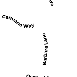
Adjacent Properties
- 11 CARRIAGE HILL RD
Single Family Residential owned by PATEL TODAL - 7 CARRIAGE HILL RD
Single Family Residential owned by JOHNSON ROBERT W - 20 OSGOOD ST
Single Family Residential owned by YIP TSZ - 24 OSGOOD ST
Single Family Residential owned by CHINIAN DAVID P - 28 OSGOOD ST
Single Family Residential owned by KE JIA